|
|
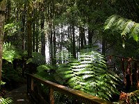
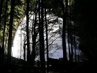
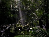
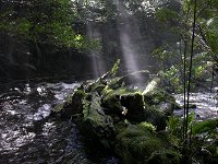
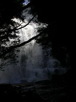
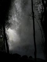
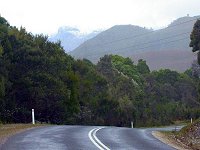
Nelson
Falls are located approximately mid-way between Derwent
Bridge and Queenstown. If you are travelling west from Lake
St.Clair - stop there for a short 20 minute walk. The waterfall
is quite spectacular.
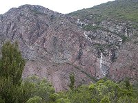
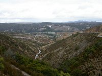
Closer to Queenstown, according to the tourist brochure - "dramatic first 3 km of the Lyell Highway as it climbs steeply out of Queenstown, is undoubtedly the most spectacular to be found on any highway in Australia". It could be added that, when you drive down, it is, undobtedly, the scariest (not for the driver, but for the helpless passenger)... Mount Lyell copper deposits were mined for more than 100 years and bare hills around town are a result of the sulphurous smelting process of old. It is rumored that local council was engaged in extensive defoliation in the mid-seventies to maintain moon-like lanscape to attract tourists. Please click on the image to enlarge it. |